
PACIFIC LAND SURVEYORS
FEMA ELEVATION CERTIFICATES ARE OUR SPECIALTY
Land surveying for Oʻahu property owners
Our Mission
Our mission is to provide personalized, professional, and accurate Land Surveying services at a fair cost with integrity and diligence.
Our Services
Land Surveying Services
Survey documentation for flood insurance review, floodplain requirements, and FEMA map amendments.
Elevation Certificates
Certified building and ground elevations documented on FEMA’s Elevation Certificate.
Elevation Certificate services →LOMA Applications
Elevation surveying and application assistance for a FEMA Letter of Map Amendment.
LOMA application services →Boundary Surveys
Locate property boundaries and corners for property ownership and planning.
Boundary survey services →Topographic Surveys
Map ground elevations and site features for design and development.
Topographic survey services →ALTA/NSPS Surveys
Land title surveys for commercial property transactions and due diligence.
ALTA/NSPS survey services →Legal Descriptions
Written descriptions of land and easements for your project.
Discuss your project →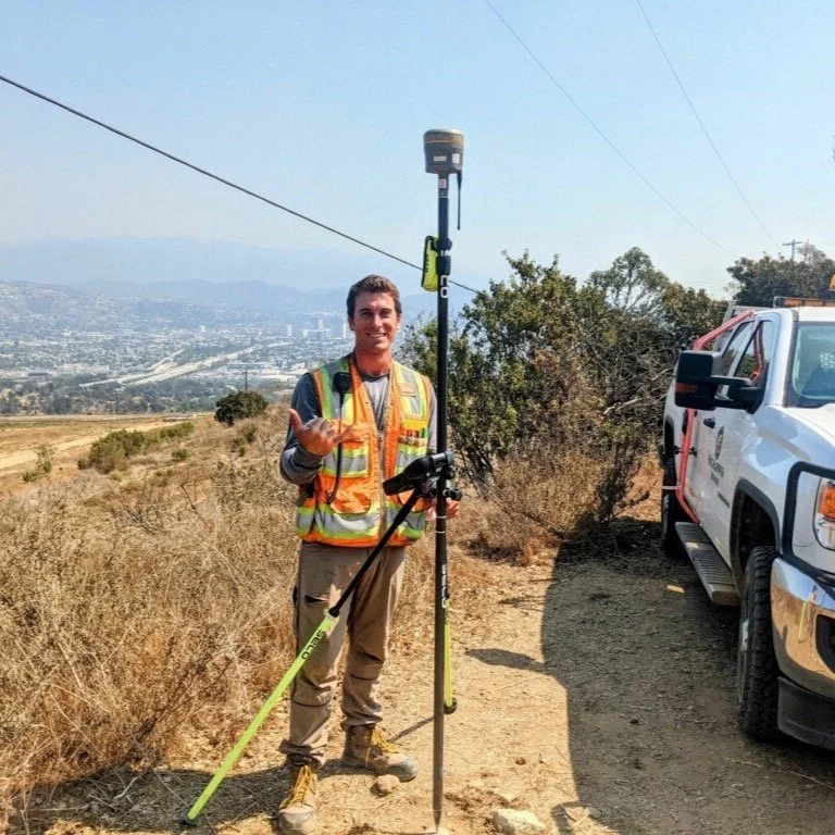
Pacific Land Surveyors
Licensed land surveying
on Oʻahu.
Pacific Land Surveyors is a locally owned and operated land surveying company based in Honolulu.
Our principal surveyor, Jacob Teter, is licensed in Hawaiʻi and California, with experience on public and private surveying projects in both states.
Hawaiʻi PLS #21944 · California PLS #9940
Why Pacific Land Surveyors
Local knowledge. Direct communication.
Licensed Experience
Licensed in Hawaiʻi and California, with public and private project experience.
Clear Scope
A written scope, price, and anticipated schedule before work begins.
Free Consultation
Talk through your property, project requirements, and next steps.
Get in Touch
Tell us about your project.
Honolulu based · Serving Oʻahu
1848 Kahakai Drive Unit 2201
Honolulu, HI 96814
Frequently Asked Questions
Do I need an Elevation Certificate or a LOMA?
An Elevation Certificate records elevation information. A LOMA is a FEMA map determination. Send the request from your insurer, lender, or permitting office so we can identify the service needed.
Will this reduce my flood insurance premium?
An Elevation Certificate may provide useful information for your insurance agent. The effect on your premium depends on your property and policy. Ask your agent how the certificate would affect your coverage.
How do I get a quote?
Send your property address, the service requested, and any deadline. We will provide a written scope, price, and anticipated schedule.